


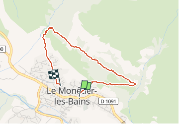


5,2 km | 12,8 km-effort

Gebruiker


Gratisgps-wandelapplicatie
 SityTrail
IGN / Geografische instituten
SityTrail World
De wereld gaat voor u open
Tocht Stappen van 3,6 km beschikbaar op Provence-Alpes-Côte d'Azur, Hautes-Alpes, Le Monêtier-les-Bains. Deze tocht wordt voorgesteld door Georges Mathys.
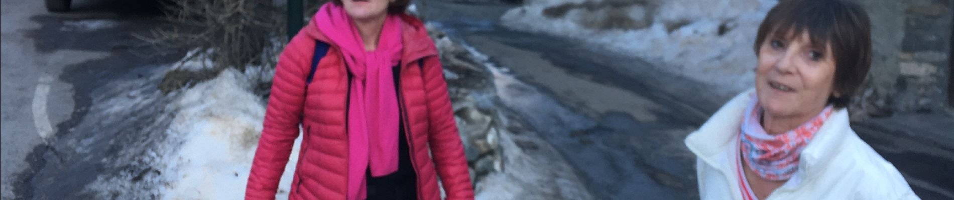
Annie_Helene_Isa_Alain_Geo_Luc


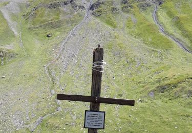
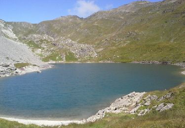
23 fotos in totaal. Klik op een foto om ze allemaal in de galerij weer te geven.

Stappen

Ski randonnée

Stappen

Stappen

Stappen
Stappen

Via ferrata

Stappen
Stappen